2017-2018 Annual Report Cover Pages

Research at North Campus Open Space

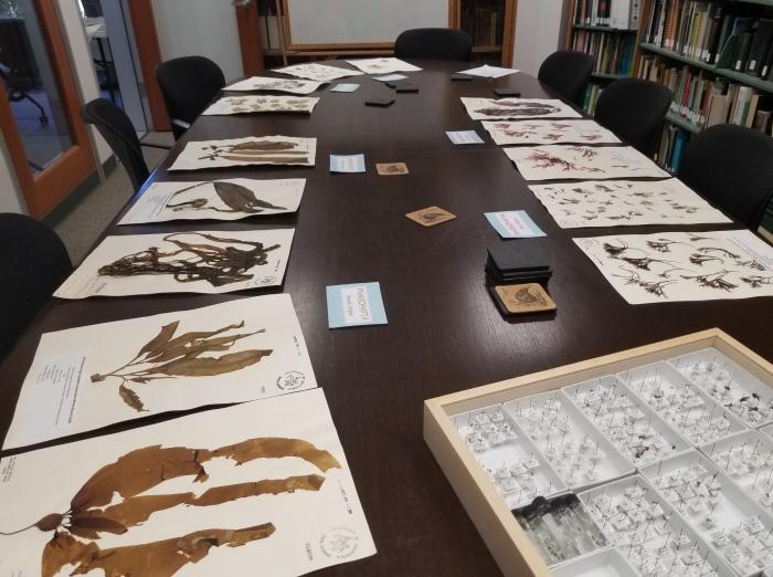
One of the most important components of the multi-functional North Campus Open Space (NCOS) is that it provides a place for students to gain hands-on experience with research and monitoring in restoration, biodiversity, natural history, open space stewardship, and more. Currently, there are six ongoing, student-driven research and monitoring projects on NCOS, investigating a broad range of topics from aquatic invertebrates and water quality; to the effects of soil amendments on soil quality and plant growth; and wildlife use of habitat features. Many of these projects are at least partially funded by the UCSB Associated Students Coastal Fund.  Photo credit: Ryan Clark.

The historic algae collection

UCSB Natural History Collection at the Cheadle Center for Biodiversity and Ecological Restoration has one of the best macro algae collections in California. With specimens dating back to the late 1800s, you can see our collection online on the Macroalgal Herbarium Portal (http://macroalgae.org/portal/collections/misc/collprofiles.php?collid=9). Photo credit: Elaine Tan

Cheadle Center for Biodiversity and Ecological Restoration Kids in Nature

Cheadle Center for Biodiversity and Ecological Restoration's Andy Lanes talks plants with participants in Girls Inc. The Kids in Nature program continues to expand and we provided outdoor and environmental education experiences for over 600 school children during 2017-2018.  Photo credit: Shaina Healey

Lisa Stratton at the Coastal Fund Gala

UCSB Associated Students Coastal Fund has been an important partner in the North Campus Open Space Project by supporting many undergraduate internships and research experiences.
Photo credit: Elaine Tan.

"Looming Mauna Kea" on Mauna Loa, Hawai'i

View on Mauna Kea from ~9800 ft elevation on the Northeast Rift Zone of Mauna Loa on 8 January 2018. Photo credit: Olivia E. Anderson.

"Basalt for Miles" on Mauna Loa, Hawai'i

View on Mauna Loa from the Mauna Loa Trail on 7 January 2018. Photo credit: Olivia E. Anderson.

Popocatépetl, August 2018

Infrasound field geophysics experiment at the active Popocatépetl stratovolcano, Mexico.  Photo credit: Robin Matoza.

"Dry fog" in Praia, Cape Verde

View looking east from the top of Hotel Perola in Praia (Santiago island, Cape Verde) on the afternoon of January 23, 2018. This photo was taken on a dry day with low humidity. The apparent fog is from a Saharan dust storm: on a clear day, visibility is significantly better. The low-visibility conditions grounded flights throughout the Cape Verde archipelago for two days. Saharan dust storms are important not only for aviation, but also because they deliver minerals (and nutrients) to faraway regions. The influx of Saharan dust-derived nutrients is thought to maintain ecosystem productivity in the distant Amazon basin, a critically important harbor for biodiversity and a significant carbon sink. Photo credit: Mark Edwards.

GPS Base

A GPS base station deployed on Joinville Island overlooks a series of snow-covered raised beaches and moraines.  The GPS survey was used to determine the elevation of the beach ridges, which when combined with their ages can be used to reconstruct the late Holocene record of sea-level changes along the northern Antarctic Peninsula.  The record of sea level will provide insights into the glacial history and Earth structure beneath the Antarctic Peninsula. Photo credit: Alex Simms.

Camp Sunset

The sun sets along a field camp deployed on the shores of Joinville Island, Antarctica. The researchers were reconstructing late Holocene sea levels on Joinville Island from the island’s raised beaches. The record of sea level will provide insights into the glacial history and Earth structure beneath the Antarctic Peninsula. Photo credit: Alex Simms

Pages